Advances in underground detection have focused on improving accuracy, resolution, or data visualization.
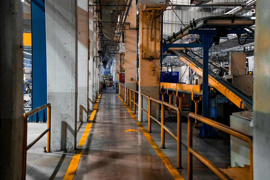
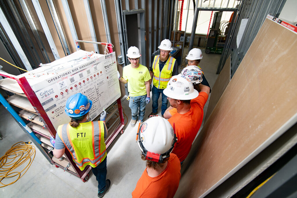
Underground utility detection has evolved significantly over the past two decades, yet utility strikes remain a persistent challenge across construction, infrastructure, and civil engineering projects. Despite wider adoption of detection tools and stricter regulations, buried utilities continue to be damaged at alarming rates, leading to safety incidents, service disruptions, financial losses, and reputational harm.
The reason is not a lack of effort, but a misalignment between innovation and operational reality. Many advances in underground detection have focused on improving accuracy, resolution, or data visualization, important achievements, but ones that often stop short of addressing the most dangerous moment on site: active excavation.
Innovation in underground utility detection is no longer defined solely by better sensors or cleaner scans. It is increasingly defined by when detection happens, how intelligence is delivered to crews, and whether technology actively reduces risk during execution rather than only during planning.
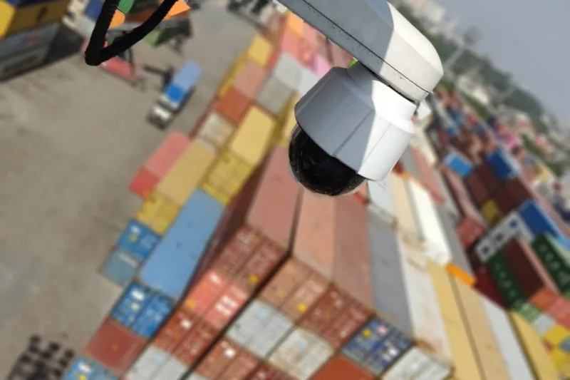
RodRadar represents a fundamental shift in underground utility detection by moving detection from pre-excavation surveys to active excavation itself. Instead of relying on surface-based scanning methods performed before digging begins, RodRadar integrates its Live Dig Radar® (LDR) ground-penetrating radar technology directly into the excavator bucket, enabling continuous subsurface scanning while digging.
This distinction is critical. The highest risk of utility strikes occurs during live excavation, when site conditions frequently diverge from drawings, markings are incomplete or unreliable, and undocumented utilities are encountered. RodRadar addresses this risk by scanning the ground in the “next bite” before soil is removed, providing automatic real-time alerts to the operator at the exact moment risk is introduced.
By embedding detection directly into the excavation equipment, RodRadar turns utility avoidance into an in-operation safety control, not a one-time planning activity. Operators receive immediate, easy-to-understand alerts in the cab, allowing them to adjust their digging approach before physical contact occurs. As a result, utility strike prevention becomes continuous, adaptive, and aligned with real construction conditions rather than theoretical site models.
The company recently introduced an additional layer of safety for construction sites – Stop Before Strike (SBS). The solution closes a critical safety gap by automatically stopping the excavator bucket before it strikes buried utilities during excavation. When Live Dig Radar® (LDR) detects a utility, it triggers an automatic bucket stop via a safety-grade hydraulic control system – helping prevent contact before it occurs.
Key Features Offered
Multi-channel and high-resolution GPR systems represent a significant technical evolution over earlier single-antenna platforms. By using multiple frequencies and antenna configurations, these systems improve depth penetration, resolution, and the ability to distinguish utilities from surrounding soil and geological features.
In complex urban environments, where utilities overlap and subsurface conditions are congested, these systems provide clearer imagery and more reliable detection during survey phases. They are widely used by specialized service providers and engineering teams to support planning and risk assessment.
Despite their technical sophistication, these systems remain primarily pre-excavation tools. Their outputs must still be interpreted by trained specialists and translated into markings or reports that guide later work.
Key Features Offered
Artificial intelligence has increasingly been applied to underground utility detection through software platforms that assist with interpreting GPR and sensor data. These systems use pattern recognition and machine learning models to help identify probable utilities, reduce noise, and flag anomalies within scan results.
AI-assisted interpretation improves consistency across surveys and reduces dependence on highly specialized operators. It is particularly valuable for organizations operating at scale or across diverse geographies, where interpretation quality can vary significantly.
That said, most AI applications in this space remain post-processing tools. They enhance insight after data has been collected, but they do not fundamentally change when or how detection information reaches field crews.
Key Features Offered
Sensor fusion platforms combine multiple detection technologies, typically GPR, electromagnetic locators, and positioning systems, into a unified workflow. By correlating outputs from different sensors, these systems increase confidence in detections and reduce the limitations of any single method.
This approach is especially effective in environments where utilities vary widely in material, depth, and condition. Sensor fusion helps validate detections and improves spatial accuracy, making it a valuable tool for complex surveys and engineering applications.
However, like most advanced detection systems, sensor fusion is typically deployed during survey phases rather than integrated into excavation equipment.
Key Features Offered
Digital subsurface data platforms aggregate utility records, survey results, and as-built documentation into centralized GIS or BIM environments. These platforms improve long-term visibility and coordination by preserving institutional knowledge and enabling better data sharing across stakeholders.
Over time, they can significantly reduce redundant surveys and improve baseline understanding of underground conditions. For large infrastructure owners and engineering firms, these platforms are increasingly viewed as essential components of digital delivery strategies.
Their limitation lies in their dependence on historical data. Without continuous field validation, digital models cannot fully account for undocumented utilities or changes that occur over time.
Key Features Offered
For years, progress in underground utility detection followed a predictable path: higher-frequency radar, improved signal processing, better software interfaces, and tighter integration with design tools. While these improvements delivered incremental gains, they did not fundamentally change how excavation decisions were made in the field.
The most meaningful innovations now address these limitations directly. They focus on real-time awareness, operator-level intelligence, and continuous validation of subsurface conditions as work progresses.
Against that backdrop, the following innovations stand out, not because they are new in isolation, but because they reshape how underground risk is managed on modern construction sites.
Several structural limitations persisted:
Not all innovation delivers the same level of impact. In underground utility detection, the difference between incremental improvement and true innovation lies not in signal clarity or interface design, but in risk timing.
Incremental improvements:
These advances matter, but they operate within the same basic workflow: detect first, dig later.
True innovation changes the workflow itself. It shifts detection into the execution phase, reduces dependence on assumptions, and delivers intelligence at the point where irreversible decisions are made.
The most impactful innovations share three defining characteristics:
By these criteria, real-time, equipment-integrated detection represents a step change rather than an incremental gain. It transforms underground utility detection from a planning safeguard into an operational control.
While traditional technologies continue to play an important role in planning and preparation, the most meaningful innovations are those that close the gap between subsurface insight and field execution. As construction environments become denser and tolerance for incidents continues to shrink, technologies that deliver continuous, real-time subsurface awareness will increasingly define best practice.

Industry in Transition: The Forces Reshaping Manufacturing
As manufacturers offer more customization than ever before, managing product complexity has become a critical challenge. Tune in with Dan Joe Barry, Vice President of Product Marketing at Configit, who explores how companies are tackling the growing number of product configurations across engineering, sales, manufacturing, and service. He explains how Configuration Lifecycle Management (CLM) helps organizations maintain a single source of truth for configuration data. The result: fewer errors, faster quoting, and the ability to deliver customized products at scale.
Get In Touch
Google news and SEO compliant, Industry Today’s state-of-the-art digital media platform offers bespoke media campaigns that target key decision makers and buyers to achieve your marketing and promotional goals.
![]()
Contribute
Showcase your brand and promote your business to our highly targeted audience. We offer detailed Google Analytics with measurable ROI to assure success. Submit your content for review by our Editorial team who will contact you to discuss the project further.
About Us
Reach Your Targeted Audience and Grow Your Business. Learn more About Industry Today.
Contact Us

© 2026 Industry today. All Rights reserved.